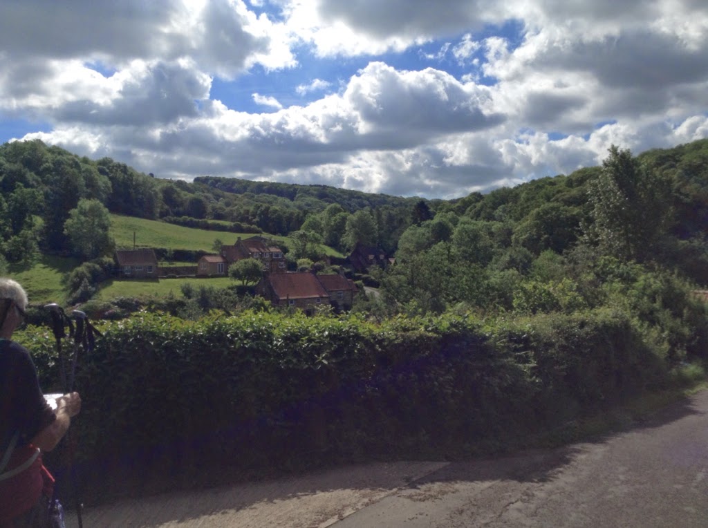
An early 7:30 start was planned from Egton Bridge. Sunshine accompanied us on the entire walk which was one of the longest of the entire trip. Grosmont, a rail road town, displaying the steam engines of yesterday and actively taking paid passengers on trips, was the start of an uphill climb, 33% grade, that took a good 30 minutes to top. The next challenge faced us at Littlebeck known in its previous life as an Alum mining town with a corn grinding mill powered by the town's beck. Instead of taking the road short cut we decided to walk through the Littlebeck Woods knowing we would be dealing with an hour of muddy trail. Fortunately relief came upon stopping for ice cream at the Falling Foss tea house. Before reaching the Coast, two Bog crossings awaited. You think you can learn from previous such crossings how to chose the driest course. We failed toping our boots several times. Our biggest surprise upon exiting, was to come upon Mike and Sue sprawled out in a green pasture enjoying a sunny break. They joined us continuing along a narrow track surrounded by hedges. This trailed ended at a road to the coastal trail. To our great surprise Alma and Chris were walking by and joined us. They had started an hour after us but having walked the Coast to Coast before they skipped the Woods and walked around the Bogs. We carried on together until we reached the cliffs by the sea. Chris and Alma decided to continue along an old converted railroad route and we did the cliffs. Our good friend, George, materialised close to Robin Hood's Bay and escorted us the rest of the way. We stopped to get Sue, his wife, and we all went down to the beach to walk into the water of the North Sea and throw the stones Stu carried from the Irish Sea. Then a celebratory glass of beer. We ended our day with a delicious dinner at the Grosvenor Hotel and a well deserved rest at The Manning Tree B&B. Tomorrow, Katy will serve us our last English Breakfast.

Final start
Lynn at The Old Mill
Littlebeck Church
Hermitage, carved out rock
Foss tea room
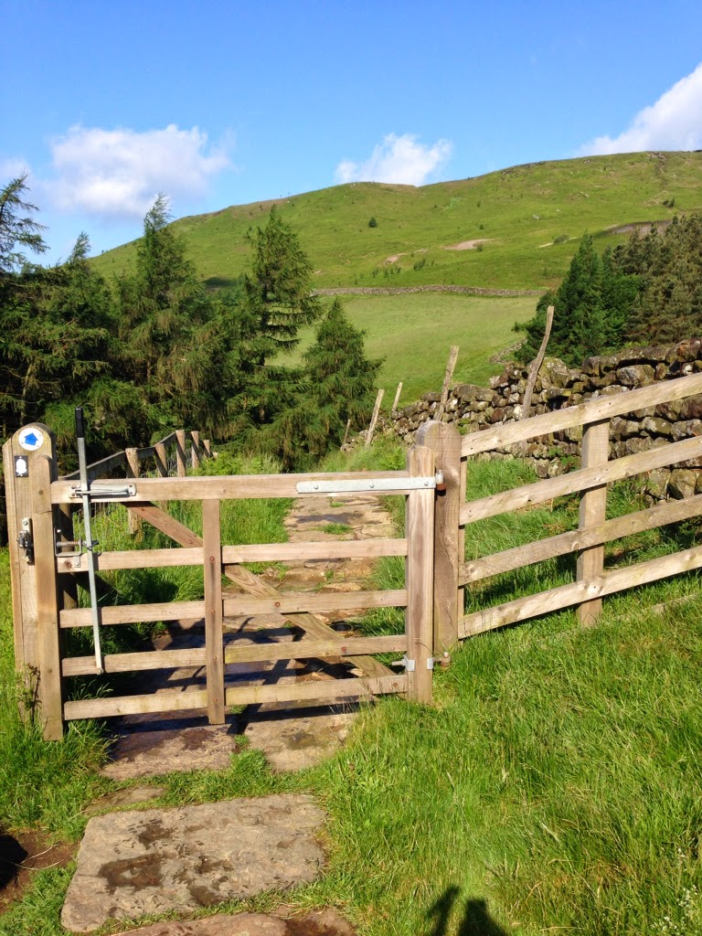
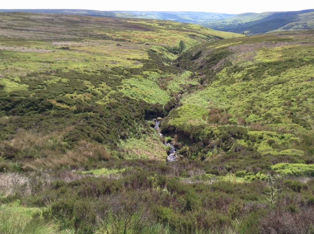
Bog caution
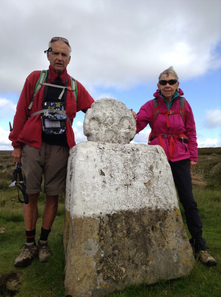
Mudd and rocks Mike and Sue
Alma and Chris
Cliff Approach to Robin Hood's Bay
Cliff Approach to Robin Hood's Bay
Robin Hood's Bay
Robin Hood's Bay
Feet wet stones thrown. The Finish
Katy at Manning Tree
OTHER BLOGS:
Caminowalkabout.blogspot.com (Frances, Finisterra, Muxia)
Caminowalkaboutnorte.blogspot.com
Caminowalkaboutplata.blogspot.com
Caminowalkaboutingles.blogspot.com
Caminowalkaboutlakecountry.blogspot.com
Caminowalkaboutoahu.blogspot.com
Stu uses MotionX-GPS on the iPhone and is sharing with you the following track:
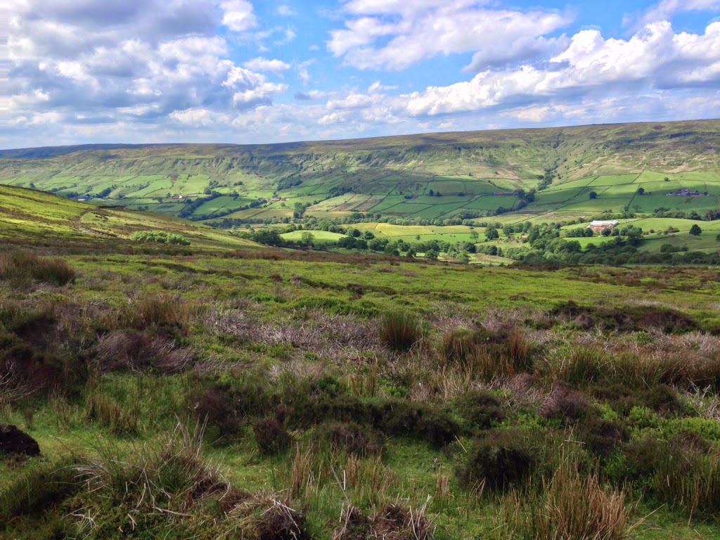
Long Day, muddy
| Name: |
Robin Hood |
| Date: |
12 Jun 2014 7:25 am |
Map:
(valid until Dec 9, 2014) |
View on Map |
| Distance: |
17.9 miles |
| Elapsed Time: |
9:12:35 |
| Avg Speed: |
1.9 mph |
| Max Speed: |
6.5 mph |
| Avg Pace: |
30' 48" per mile |
| Min Altitude: |
7 ft |
| Max Altitude: |
960 ft |
| Start Time: |
2014-06-12T06:25:37Z |
| Start Location: |
|
| |
Grid Square: |
NZ |
| |
Easting: |
80271 |
| |
Northing: |
5243 |
| End Location: |
|
| |
Grid Square: |
NZ |
| |
Easting: |
95318 |
| |
Northing: |
4876 |