We tried to start out early and not wake up Jean; but, she would not have it. What a kind woman. She made us lunches to bring on the trail. They consisted of a sandwich, orange juice, banana, potato chips, cake and candy. Enough food for two days and she wouldn't let us pay for it. It is no surprise that she rescues dogs and cats. The Manor House is a lovely place and very comfortable. The start was the easiest so far. We crossed the bridge and turned right on a paved path that had a finger post. Assisted by a compass, most of the trail was well marked. We walked up to the Nine Standards, which refers to nine rock pillars or cones. They are in the Pennines a little over 2000 feet. It then began to rain, not hard but consistent. The track was through bog county. Watching carefully your next step, often failures found your boot submersed in Peet goo. There is a lot of erosion so the park has three routes depending on the time of year. We did the Red route because it was May to July. We eventually descended into the valley which is beautiful and green. It is hard to believe that this is an area full of lead mines. The lead was first mined by the Romans and perhaps before them by Bronze Age man. At one point there were over 40 smelt mills. Today all you see is sheep. On reaching Keld we found our accommodations at the Butt House where we were greeted warmly by Jacqui. For dinner Chris served one sumptuous three course meal. The accommodations included a bath tub with very hot water were just what the body needs after a slog through the bog.

Thank you so much Jean
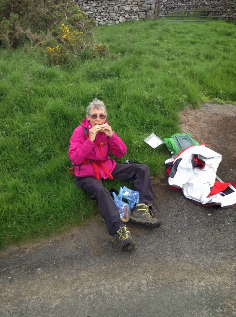
Eating The lunch provided by Jean

Early on footpath.

Early on the walk

On the way to the top.

Three of the Nine Standars.

Out of the wind, at the nine standards.

Seasonal paths. We took the Red route

Pennines Fell

Too many choices

Sheep hiding from rain

Long distant trail markers

Peet bog


Grouse Butt


Stu uses MotionX-GPS on the iPhone and is sharing with you the following track:
Half Way
| Name: | Keld | |
| Date: | 4 Jun 2014 7:19 am | |
| Map: (valid until Dec 1, 2014) | View on Map | |
| Distance: | 11.6 miles | |
| Elapsed Time: | 7:26:35 | |
| Avg Speed: | 1.6 mph | |
| Max Speed: | 4.1 mph | |
| Avg Pace: | 38' 35" per mile | |
| Min Altitude: | 532 ft | |
| Max Altitude: | 2,193 ft | |
| Start Time: | 2014-06-04T06:19:29Z | |
| Start Location: | ||
| Latitude: | 54º 28' 24" N | |
| Longitude: | 2º 20' 48" W | |
| End Location: | ||
| Latitude: | 54º 24' 14" N | |
| Longitude: | 2º 10' 00" W | |
No comments:
Post a Comment