We had breakfast at David's B&B and he drove us back to where we left off yesterday, Clay Bank Top. This was to be a full day on the moors. The North York Moors National Park was designated as a national park in 1952. The bumps, folds, dips, and sweeps of the Moors are what make it beautiful. The Moors on today's walk were set off by the rolling farmland, lush valleys below and the gushing streams. We started with a climb and then we were up on top of the Moors. We walked for about 4 miles along a nice dirt trail. There were sheep and all different kinds of birds in the heather. The moors have a scattering of butts to camouflage the hunters who come to shoot grouse. After about 4 miles we left the Cleveland way and followed an old disused railroad track for about 5 miles until we reached the Lion inn. This is the fourth highest inn in England. The Lion Inn which dates back to 1553 is a beehive of activity with walkers and visitors coming and going. This is are stop for the night.
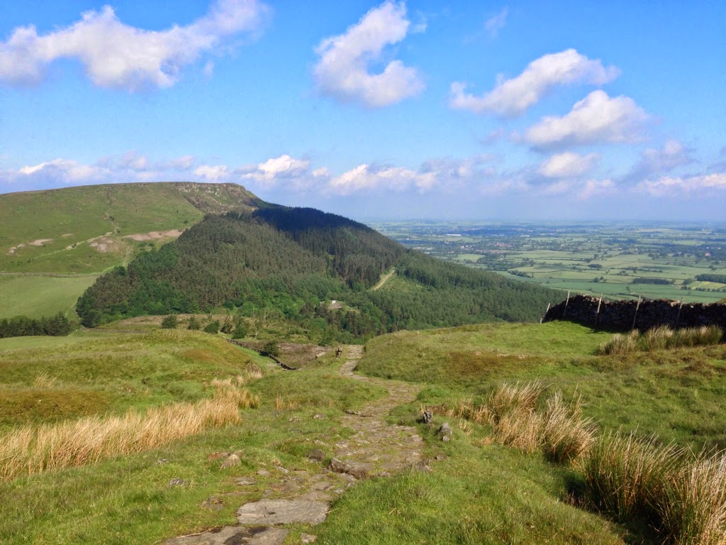
Up from Clay Bank with yesterday's path in the background


Moors

Surrounding valley

Face Stone, ancient direction marker.

Peat, centuries old

The railroad walk

One of many, stream

The Lion tamer

The Lion at his inn

Alex, Greg, Brian walking further

Dinning room

Dinning room
Stu uses MotionX-GPS on the iPhone and is sharing with you the following track:
Moor Walk
| Name: | Lions Inn | |
| Date: | 10 Jun 2014 8:45 am | |
| Map: (valid until Dec 7, 2014) | View on Map | |
| Distance: | 8.75 miles | |
| Elapsed Time: | 3:46:07 | |
| Avg Speed: | 2.3 mph | |
| Max Speed: | 3.5 mph | |
| Avg Pace: | 25' 49" per mile | |
| Min Altitude: | 850 ft | |
| Max Altitude: | 1,490 ft | |
| Start Time: | 2014-06-10T07:45:53Z | |
| Start Location: | ||
| Latitude: | 54º 25' 23" N | |
| Longitude: | 1º 07' 07" W | |
| End Location: | ||
| Latitude: | 54º 23' 18" N | |
| Longitude: | 0º 57' 22" W | |
Wonderful environment . The photos tell a story.
ReplyDelete