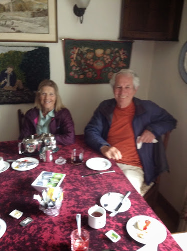
We left the Butt House after a delicious breakfast and headed down the Main Street where we met Alma and Chris. Stu was quite happy because he did not have to navigate for the first part of the walk. Today was to be a walk along the river for about 13 miles. We are in the Yorkshire Dales. It covers about 1700 square miles and the core is the Yorkshire Dales National Park. The Dales are famous for their rich mosaic of flower filled meadows, high fells,heather moors and broad leafed woodland We walked thru these glorious meadows filled with flowers defined by their rock walls and stone barns. We passes waterfalls and stone built villages filled with history. The first town we went to visit was Muker. This is a small village that saved itself after the lead mines closed. The people of the town had a meeting in the local pub some 30 years ago and decided to set up a local cottage industry producing knitwear. They used the wool shorn from their hardy Swaledale sheep. It is still in business and of course was our first stop. We had to leave the trail and walk thru a multitude of stiles and thru several meadows. Today the path was clearly marked most of the way but we did have to climb over or through at least 20 stiles.Unfortunately many homes as well as businesses are for sale. Tourism is a main source of income. The winters are long and often without a sustaining cash flow. Even the sheep farmer suffers because sheep wool is'nt worth the cost of shearing. The wool is used in rugs and insulation. Profits come from the meat of the sheep. Once again those that walk the Coast to Coast are said to keep many of these small towns going.
The path ahead
Narrow gate
From one stone wall to another
Path variation
Bridge over river
Color due to run off from old Lead mines.
Wool Shop in Maker
Step garden
Church in Makers
Joan surrounded by winter feed for livestock.
Denise and Bob owners of Springfield House
Bob waiting to greet us at www.springfield-house.co.uk
Forest and Anna from Missouri.
Stu uses MotionX-GPS on the iPhone and is sharing with you the following track:
Along the river Swale
| Name: | Reeth | |
| Date: | 5 Jun 2014 8:53 am | |
| Map: (valid until Dec 2, 2014) | View on Map | |
| Distance: | 13.5 miles | |
| Elapsed Time: | 7:18:08 | |
| Avg Speed: | 1.9 mph | |
| Max Speed: | 3.8 mph | |
| Avg Pace: | 32' 20" per mile | |
| Min Altitude: | 567 ft | |
| Max Altitude: | 1,221 ft | |
| Start Time: | 2014-06-05T07:53:51Z | |
| Start Location: | ||
| Latitude: | 54º 24' 17" N | |
| Longitude: | 2º 09' 47" W | |
| End Location: | ||
| Latitude: | 54º 23' 20" N | |
| Longitude: | 1º 56' 44" W | |


No comments:
Post a Comment